|
 |
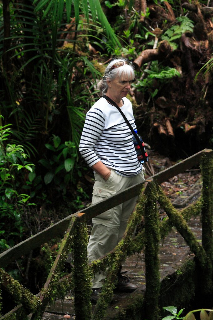
| This cloud forest is dry at the moment | |
| Latitude: N 10°17'53,09" | Longitude: W 84°47'6,70" | Altitude: 1542 metres | Location: Monteverde Cloud Forest | City: Santa Elena | State/Province: Guanacaste | Country: Costa Rica | Copyright: Ron Harkink | See map | |
| Total images: 19 | Help | |